By: Meryl Haque
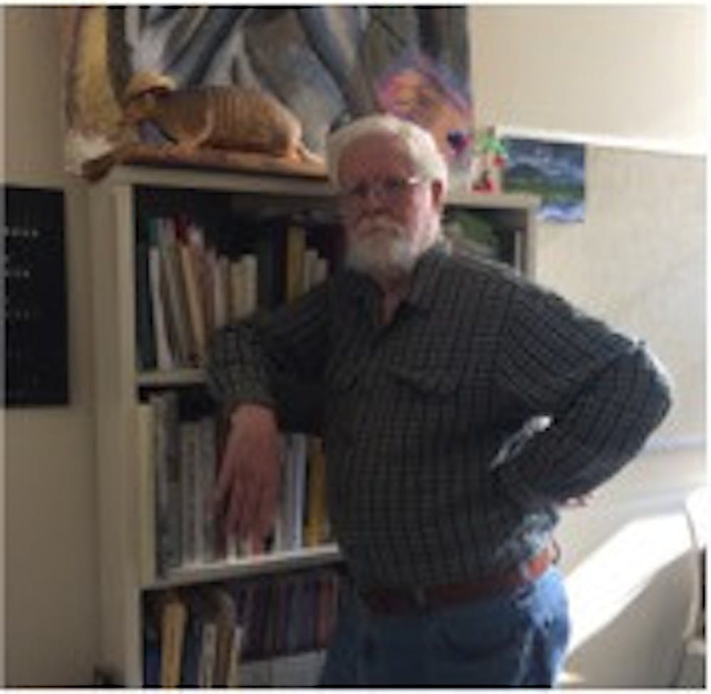
On a typical Monday morning, Dr. Jerry Green can be found in his office with his nose buried in a historical geography book.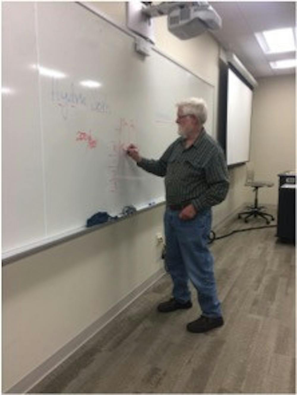
Green has been teaching geography classes for over 40 years at Miami University, including map interpretation, land-use analysis, air-photo interpretation, and soils. However, he is most passionate about the research he has completed and continues to work on.
While talking to several students in one of his classes, they remarked about the way Green’s eyes light up when he discusses the historical context of the maps and land they are working with during his lectures.
“My advice [to someone deciding upon a career] would be to do what you really like doing.” Green laughs. “No, seriously, I mean, when you find something you really enjoy that’s what you should follow. And that can be adventuresome at times." He laughs again. “It doesn’t always go where you want it to. That’s my two cents.”
A curiosity for the history of maps and cartography has stuck with Green throughout his career. It all started with his graduate school dissertation on historical settlement related to mineral extraction in subarctic Canada.
Since then, he has researched mostly land use issues. He has been involved in quite a few research papers related to post-mining reclamation in Appalachia, and he has also worked on agricultural land drainage and applications of aerial photography.
I met with Green last Monday to learn more about his work.
What first got you interested in geography?
My undergraduate degree had lots of geography in it, but it was not a geography major. It was something called government service, which doesn’t exist anymore. It had geography, cartography, conservation, and map interpretation classes, I think.
What did you go on to study for your master’s and Ph.D.?
My master’s is in urban and regional planning, with an emphasis on environmental planning. My Ph.D. is in geography. The emphasis for that was on resource geography, particularly minerals.
When did you come to Miami University to teach?
The fall of 1976. Before that, I was working as a regional land use planner in Iowa.
What does a typical day look like for you as a professor?
Well, can we start with how many cups of coffee you have to drink? (Green laughs.) I usually get here about 7:30 in the morning and get ready for my first class, which is Intro to Physical Geography, with somewhere between 70 and 90 students depending on the semester. Then, I usually have a second class right around noon, then I have one in the late afternoon and then a lab. That would be on a Monday, Wednesday, Friday sequence. Tuesday and Thursday I usually try to get to the library and do research, grading, update my classes, things of that sort. All that cheerful stuff.
Are you currently working on any research projects while teaching?
Yes, I am currently working on the history of map production in Cincinnati. It was a major map-producing center in the early 1800s until just after the Civil War, and nobody has seemed to have written much about it. I’m identifying the companies and the type of maps that they produced. After Cincinnati, Chicago took over in the post-Civil War period.
How do you go about finding this research topic?
Well, I found that topic because I was reading a book on map production in Chicago. In the introductory parts, the author was commenting that there were very few individual city histories related to map or cartography production. And I thought, maybe Cincinnati would fit that comment. So I started to look into it. There’s a really good book out on Cincinnati as a publishing center, but I couldn’t find anything done on Cincinnati as a map-producing center. So that’s what got me looking into it, basically.